Fractal Synergy
Contact Information
- 414 Jelliff Ave, Newark, NJ, 07112.
- c.otavalo@fractal-synergy.com / info@fractal-synergy.com
- +1 (862) 306-5472.
Fractal Synergy delivers high-accuracy field data collection services to support licensed land surveyors, engineers, and mapping professionals. We serve diverse industries with cutting-edge tools and an expert team dedicated to efficiency, quality, and integrity in field data collection.
Efficient, accurate, and reliable data collection tailored to your project’s needs.

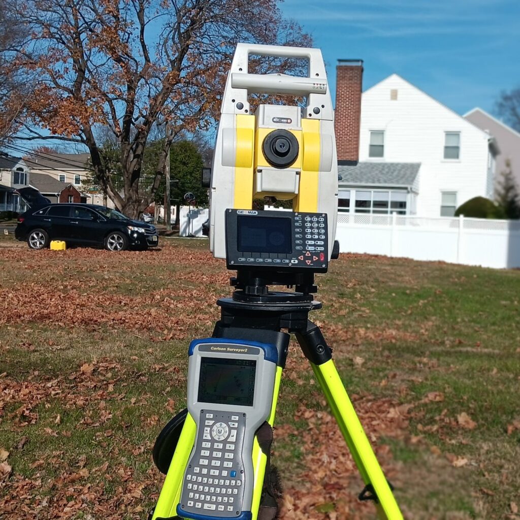
Precise field services for construction projects of all sizes. We support licensed professionals with:
Advanced geospatial data solutions to support planning, design, and analysis.
GIS Mapping & Data Integration
3D Visualization & Terrain Modeling
Spatial Analytics for Site Development

Let Fractal Synergy bring precision and innovation to your next surveying project. Whether you need data collection, field surveying, or advanced geospatial services, we’re here to help.